
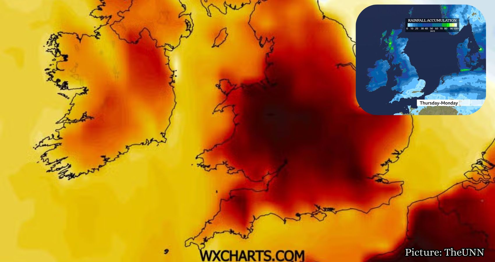
Warm, humid weather is expected in South West England this weekend, but the Met Office has ruled out a return to heatwave conditions for the foreseeable future.
The Met Office has announced that South West England and southern parts of the UK will experience a spell of warm, humid weather this weekend. However, the agency has clarified that this does not signal a return to full heatwave conditions.
According to the Met Office’s latest national forecast, updated on Sunday, September 13, the weather across the UK remains variable. A cloudy and wet start to the day in the south is expected to transition into drier conditions with “some warm spells possible” as the day progresses. The South West is likely to remain mild and humid into the evening, while brighter and fresher conditions are anticipated further north.
This weekend’s outlook indicates a cloudy beginning across southern England, including the South West, with intermittent rain that may become heavier at times. However, conditions are expected to dry out as the day continues. In London and the South East, temperatures are forecast to reach around 23 to 25 degrees Celsius, with similar warmth anticipated in parts of the South West as cloud cover diminishes.
Additional reporting from the Met Office, as relayed by Yahoo News UK, suggests that warm weather and sunny spells will return over the weekend, with mild conditions extending into the start of the working week. On Monday, temperatures in southern England could reach the mid-20s Celsius.
Despite this warm-up, these temperatures fall short of the criteria required to officially classify as a heatwave. The Met Office stipulates that a heatwave is defined by at least three consecutive days of temperatures exceeding approximately 28 degrees Celsius in London, with lower thresholds of around 25 degrees Celsius in other regions. Given that this weekend’s peak is expected to be in the mid-20s and only for a brief period, forecasters have stated that the current warm spell does not meet the heatwave criteria.
The Met Office has explicitly countered media speculation regarding an imminent September heatwave, asserting that its confidence in predicting any hot spell beyond a couple of weeks remains low. Its long-range forecast for the period from September 16 to October 10 indicates a generally changeable weather pattern, with rain and strong winds affecting northern England, Wales, and the Midlands at times. Meanwhile, the south is expected to remain drier and “rather breezy,” with some warm sunny spells.
This forecast presents a stark contrast to the prolonged heat events that characterized much of the summer. Forecasters have emphasized that the warmth expected in the coming days should be viewed as a warm spell rather than a heatwave. The distinction lies in both the intensity and duration of the temperatures. A brief rise into the low-to-mid 20s, while pleasant following a changeable week, does not carry the same risks or official warnings associated with the extended high-intensity heat experienced earlier this year.
This update follows the Met Office’s confirmation that the UK experienced its hottest summer on record, with an average temperature of 16.5 degrees Celsius across June, July, and August—surpassing the previous record of 16.1 degrees Celsius set the year prior. The highest temperature recorded this summer was 38.1 degrees Celsius at Kew Gardens on August 13. Five separate heatwaves impacted the country between May and August, leading to drought conditions, wildfires, and travel disruptions in several regions, including the South West.
In light of this context, forecasters are interpreting the upcoming warm spell in the South West as a modest event, offering a final taste of summer-like conditions rather than a repeat of the extremes experienced earlier in the year.
Looking ahead to the new working week, the Met Office’s forecast indicates that a band of rain will move southward on Tuesday, bringing fresher air across the country and concluding the current mild, humid spell in the South West and southern England. The outlook for the remainder of September and into early October appears broadly unsettled, with alternating spells of rain and showers alongside drier, brighter intervals. Overall, temperatures are expected to remain close to the seasonal average rather than significantly above it.
For those in the South West hoping for the warmth to linger, forecasters advise measured expectations. While the mild, humid conditions are enjoyable over the coming days, a return to more typical, changeable early-autumn weather is anticipated from mid-week onward. Based on current confidence levels, any further hot spells this year seem unlikely.
According to Yahoo News UK, the Met Office’s insights highlight the need for caution in interpreting short-term warm spells as indicators of a heatwave.